
Loves Park ZIP Directory Coverage
USPS material associates six destination ZIPs with the Loves Park city label. That list records postal operations, not six exact neighborhoods within the corporate limit. Only 61111 has a separately verified local retail office in the research. For every other line, use the live USPS address tool before assigning a current delivery area or post office.
| ZIP Code | Areas Covered | Post Office | Notes |
|---|---|---|---|
| 61111 | Primary Loves Park postal association | Loves Park Post Office, 1702 Windsor Road | Use as a search input, not city-limit proof |
| 61114 | USPS labeling associates it with Loves Park | No separate retail station verified | Exact delivery polygon not found |
| 61115 | USPS labeling associates it with Loves Park | No separate retail station verified | Verify the individual address |
| 61130 | Loves Park label in operational material | Grouped as an operational label | May extend beyond city limits |
| 61131 | Grouped with the Loves Park label | No separate retail station verified | County mismatch is possible |
| 61132 | Grouped with the Loves Park label | No separate retail station verified | County mismatch is possible |
The archived USPS L606 list grouped 61111, 61114, and 61115 beneath the Loves Park 61111 label, then grouped 61130 through 61132 beneath a Loves Park 61130 label. It does not show a complete current boundary polygon. No official source identified a PO-box-only or unique institutional ZIP for Loves Park, so none should be inferred from the number alone.
Verify a Loves Park ZIP
The USPS ZIP Code Lookup supports three distinct questions. An address search uses street, city, and state to return the delivery ZIP. A city-and-state search finds ZIPs associated with a place. A ZIP search returns its associated city labels. None identifies a resident or proves that a business occupies the address.
The verified Loves Park Post Office details identify the Windsor Road office for 61111.
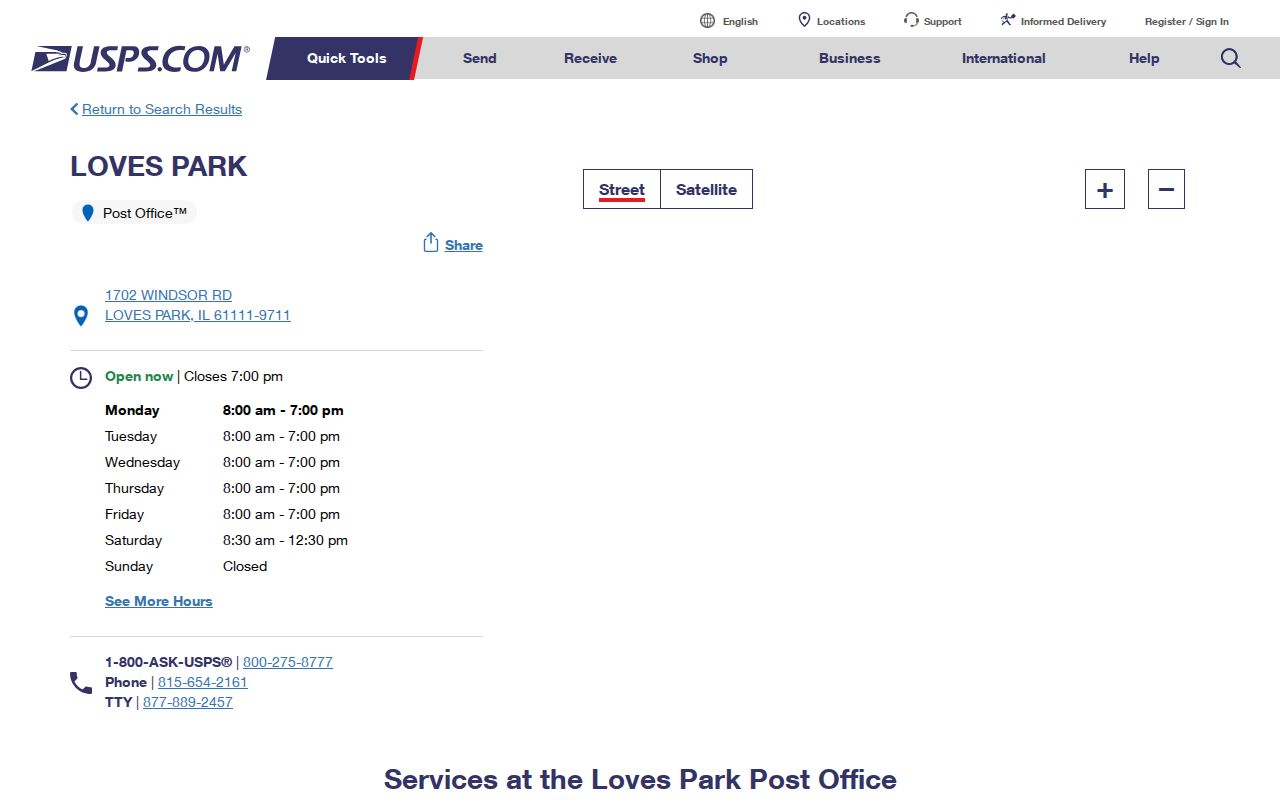
The office listing confirms a postal location and contact route. It does not turn the 61111 delivery area into a city or county boundary.
Loves Park ZIP Versus ZCTA
Census geography uses ZIP Code Tabulation Areas, or ZCTAs, as statistical approximations. They allow the Census Bureau to publish aggregate data around ZIP-like areas even though USPS delivery routes are not designed as stable census boundaries. A 61111 ZCTA profile can describe that statistical area, but its totals must not be labeled as the current population of Loves Park.
The Census ZCTA guidance explains that distinction.
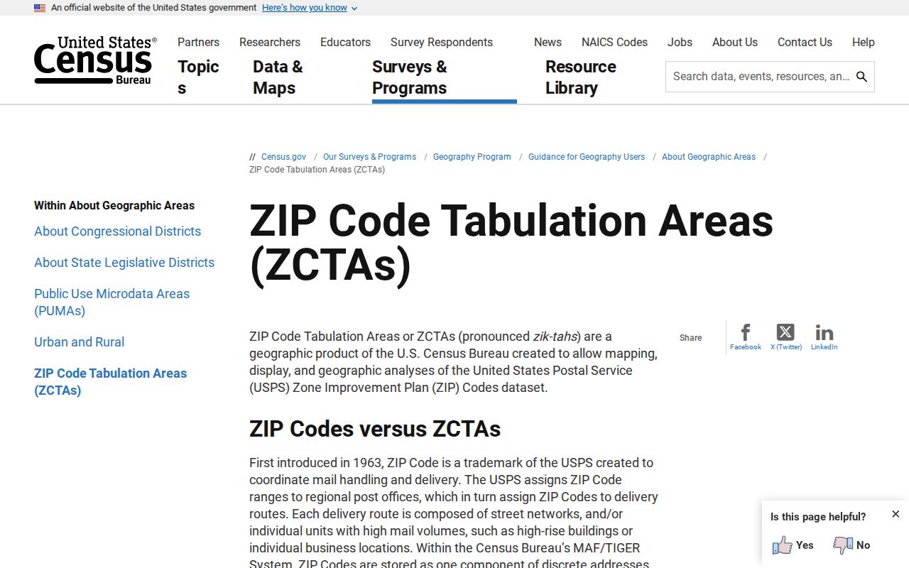
The guidance supports ZIP-based statistical context while preserving the separate legal roles of the Loves Park city map, county boundary, and parcel record.
Insider tip. Label every count by its source geography. A 61111 ZCTA number is not automatically a Loves Park city number.
Search Loves Park Residents by ZIP
There is no official ZIP-wide resident list. Instead, the ZIP code directory narrows a known person or address before another custodian confirms a record. The Illinois voter tool is the clearest person-level ZIP query, but it requires a full name and birth date first. The assessor and tax forms do not offer a ZIP field. They accept parcel, street, or owner inputs.
- Normalize the street, city, state, and delivery ZIP with USPS. Save the full result rather than the five digits alone.
- Open WinGIS and compare the ZIP layer with the parcel. Record the PIN, owner or taxpayer field, and county context.
- Use the Winnebago assessor by property location, owner name, or PIN. If the parcel lies east of Argyle Road, use the Boone office fallback.
- For one known voter, enter first name, last name, birth date, and ZIP. Complete the second pass with street number and the supplied street-name choice.
- Once the ZIP narrows to an address, use the Loves Park street directory for the full parcel and deed workflow.
This order prevents a postal label from driving the wrong county search. It also keeps the voter form within its intended one-person use. Illinois does not offer a public browse-all-voters-by-ZIP screen, and the public release of voter data has strict permitted-purpose and sensitive-field limits.
Loves Park ZIP Search Fields
The assessor's lack of a ZIP box is important. Search fields are split among tools, and each one uses geography for its own purpose. Postal search validates delivery. Voter lookup uses ZIP to generate the next street choice. Parcel systems rely on location fields and durable land identifiers. Keep the date of each result because delivery labels and public databases can update on different schedules.
| Official tool | ZIP input | Other required or useful fields | What it can establish |
|---|---|---|---|
| USPS Lookup | ZIP route, or returned from address | Street, city, state for address search | Delivery ZIP and city label |
| Illinois Voter Lookup | Five digits required | First name, last name, birth date; then street number and name | Individual registration lookup result |
| Winnebago Assessor | No ZIP field exposed | PIN, street number/direction/name/suffix, or owner | Parcel and assessment match |
| Winnebago Tax Search | No ZIP field exposed | PIN, mobile home, parcel location, or owner | Tax record tied to parcel |
| WinGIS | Map layer available | Parcel click, PIN, mapped position | ZIP context beside parcel data |
Do not add a ZIP to an owner result merely because the owner's mailing city says Loves Park. The situs address shows where the parcel sits, and the mailing address shows where tax correspondence goes. Those can differ.
Map Loves Park ZIP Context
WinGIS publishes a ZIP-code map layer for Winnebago County. Layer 160 provides spatial context beside parcels, zoning, flood information, and other map controls. A parcel click can connect mapped geometry to a PIN and owner or taxpayer popup. That is stronger than guessing jurisdiction from the postal city line.
Inspect the official WinGIS ZIP layer when a boundary is in doubt.
The layer documents a mapping resource, not a guarantee that each postal edge matches a parcel, ward, school district, or municipal line. Use the clicked parcel's legal and tax identifiers for the records trail.
Loves Park ZIP Change Myth
A 2026 USPS Postal Bulletin deleted 61111 from one label-container grouping. That was a mail-logistics update, not evidence that the ZIP retired, split, or left Loves Park. No official ZIP boundary split or realignment year affecting the city was found in the research.
Operational lists can change while the address and delivery code stay the same. Verify a live address in USPS, then use current city and GIS maps. An old directory may instead say Rockford, a township, or a rural route because Loves Park did not incorporate until 1947. In that case, a plat, PIN, or legal description is a better bridge than a modern ZIP search.
Note: A historical postal label belongs to its date, so retain the old wording when searching newspapers, directories, and county indexes.
Loves Park ZIP and City Limits
The Loves Park mailing city, corporate limit, and county jurisdiction are separate layers. Argyle Road is the most important local divide: addresses west of it generally use Winnebago County offices, while east-side land and court questions may route to Boone County. A ZIP cannot replace that county check. Nor can it decide whether a parcel is inside a ward, school boundary, zoning district, or annexed area.
The city's map page publishes city, county, ward, zoning, land-use, school, and project maps. Compare the parcel position to the relevant official layer. For a durable identity, keep the PIN and legal description with the street and ZIP.
Older sources need one more check. Loves Park incorporated in 1947, so a current city address may appear under Rockford, a township, a rural route, or a county label in an early directory or newspaper. Preserve the wording printed in the source. Then compare a plat, assessor legal description, WinGIS parcel, or annexation record before translating it into a modern ZIP. This avoids losing a household merely because the postal and municipal labels changed at different times. It also prevents a modern delivery code from being projected onto a record created before that code existed.
- ZIP vs ZIP+4
- A five-digit ZIP identifies a delivery area. The four extra digits narrow a delivery segment, building, or group of boxes.
- PO-box ZIP
- A code used mainly or only for post office boxes. None was officially verified for Loves Park in the research.
- Unique ZIP
- A code assigned to one high-volume organization. No Loves Park unique ZIP was documented.
- Carrier route
- A postal delivery path within a ZIP. It is an operating route, not a city or parcel boundary.
Boundary check. Read a Loves Park ZIP as delivery geography, then confirm the city, county, and parcel in their own official systems.