
Sources Around Loves Park Neighbors
A sound block lookup labels the result “adjacent parcels and associated public records.” That wording matters. A mapped neighbor might be an empty lot, street right-of-way, common condominium parcel, church, school, or separate legal tract. The sources below describe the block from different angles without turning public records into an unsupported household roster.
| Block source | Block evidence | How to reach it |
|---|---|---|
| WinGIS parcels | Boundaries, PIN, legal description, owner or taxpayer popup, map layers | Public map click, identify, print, measure, and layer tools |
| County assessor | Physical parcel location, owner, taxpayer, mailing address, assessment cycle | Public PIN, address, or owner search |
| Recorder | Recorded transfer parties and legal description for one parcel | Free limited index, paid images, counter, mail, or email |
| Voter lookup | One person's registration or polling match after ZIP and street inputs | Individual state lookup; no block browse |
| Associations and wards | Rules, board contacts, ward representation, civic organizations | Public organization and city pages; no household list |
| Libraries and papers | Dated historical occupants, notices, events, and obituaries | RPL, NSLD, Midway, and WBCGS collections |
The assessor and Recorder are strongest for a legal interest in land. WinGIS is strongest for adjacency. Libraries add time. The Illinois voter form only checks a known person. None can promise that a named owner sleeps at the parcel or that unnamed people are absent.
Condominium and common-area parcels need special care. One polygon may represent shared land rather than a separate home, and a mailing address may lead to an association or manager. Public streets and institutional tracts can also sit between private parcels. Read the land class, legal description, geometry, and association declaration before calling two records adjacent. That small check keeps a map-based result tied to the block's actual legal layout.
Map Loves Park Neighbor Parcels
WinGIS Property Search is the block's spatial index. Its public viewer confirms parcel click and identify, Details, Layers, Markup, Measure, Print, Basemaps, and other navigation controls. The subscription product advertises a buffer map, but the research did not verify a public buffer-radius button. On the public map, the safe method is to keep the target visible and select each surrounding polygon in turn.
- Locate the target by address or carry its PIN from the assessor. Open Details and save the PIN and legal description.
- Zoom to the block. Click each adjoining parcel and record only its public map, PIN, legal, owner, and taxpayer fields.
- Follow each PIN to the Winnebago assessment search. Compare Property Location with the mailing address and preserve the tax year.
- Use zoning, flood, ZIP, and aerial layers for context. Do not treat a layer as proof of title or occupancy.
- If ownership history matters, follow that one legal tract into the Recorder rather than searching names without the parcel check.
Save one print for the target and one for each adjacent PIN, with source date and layer name. For a full road instead of the immediate block, use the Loves Park street directory workflow.
Layer the Loves Park Block
WinGIS can place parcel lines beside zoning, FEMA flood, ZIP-code, and 1939 aerial layers. That mix explains why two nearby tracts can have different planning or delivery context. The Details popup may also show primary and alternate PINs, community name, legal description, measurements, owners, taxpayers, and links back to assessment sources.
The aerial is especially useful for neighborhood history. It may show whether a road or building footprint existed before modern permits. It does not identify a family. Printed maps, directories, newspaper notices, and a deed must supply the dated human evidence. Exact image-sheet coverage still needs to be checked for the parcel.
Insider tip. Mark every nearby tract before naming any neighbor. Visual closeness and legal adjacency are not always the same.
Loves Park Neighbors Across Argyle
The county line at Argyle Road changes the record route within Loves Park. The official police jurisdiction note places the west side in Winnebago County and the east side in Boone County. Nearby parcels can share a city or postal label while their deeds, taxes, and court records belong to different county offices.
For an eastern tract, use Boone County's Clerk and Recorder, Assessment Office, and GIS contacts. Boone's official guide says land records begin in 1838. For a modern block, confirm the county from the parcel rather than the ZIP. For much older research, a disputed one-mile strip means some pre-December 1845 land, marriage, or probate material may still be on the Winnebago side.
Loves Park Community Contacts
Public civic pages describe organizations and representation, not private households. The Parks Chamber has a public member directory for local businesses and groups. Inverness and the Condominiums of Springbrook publish board, rules, declaration, or contact material, but no public member roster was found. Loves Park itself has five wards with two aldermen each.
Parks Chamber
100 Heart Boulevard, Loves Park
(815) 633-3999
Community and member directory
Inverness Association
PO Box 2031, Loves Park, IL 61130
Public board, contacts, and rules
No public member directory verified
Springbrook Condominiums
PO Box 15021, Loves Park, IL 61132
Declaration, bylaws, rules, and contact
Loves Park Wards
Five wards, two aldermen each
City ward and community maps
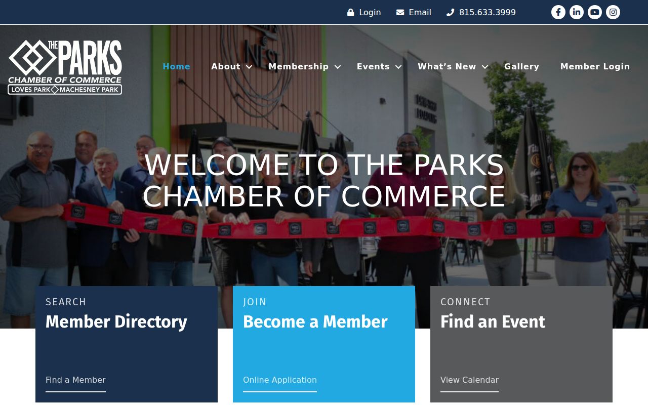
The chamber's public page shows the community-directory layer available around Loves Park.
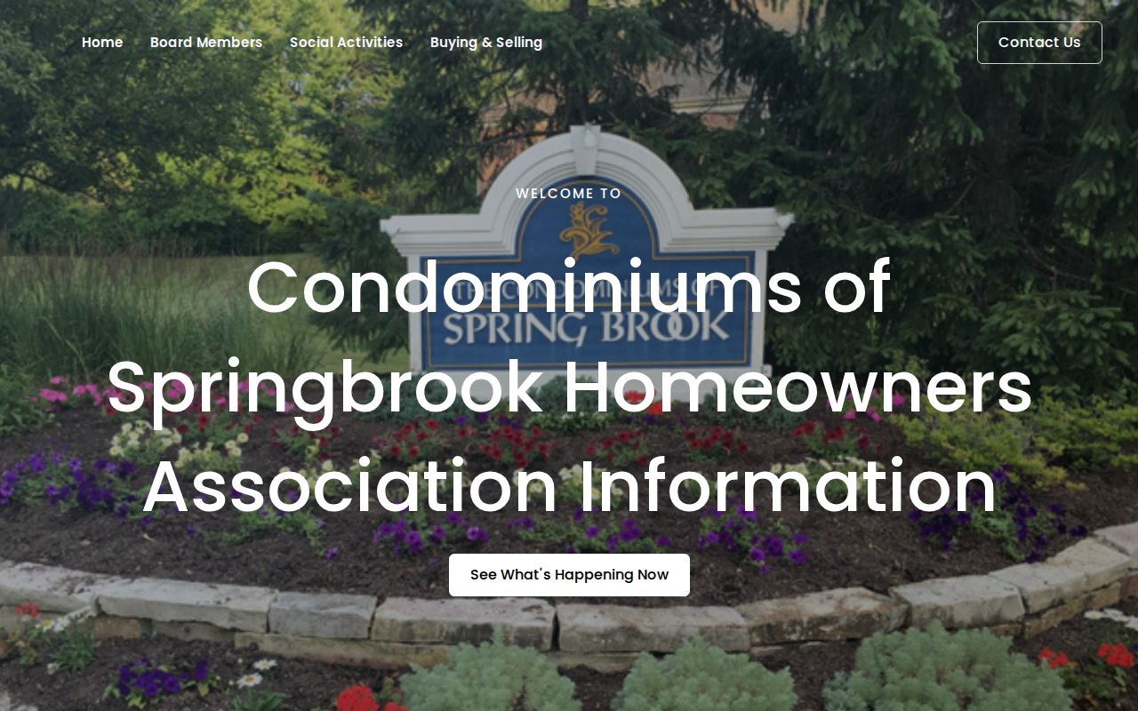
The Springbrook site supplies an association's own public governance and contact material.
Place Loves Park Neighbors in Wards
A ward map adds a public-service route to the block. It can connect an address with aldermanic representation, meeting records, or a city question. It cannot reveal ballot choices, voter names, or association membership. Use the map to identify geography, then contact the City Clerk or council member for non-exempt municipal material.
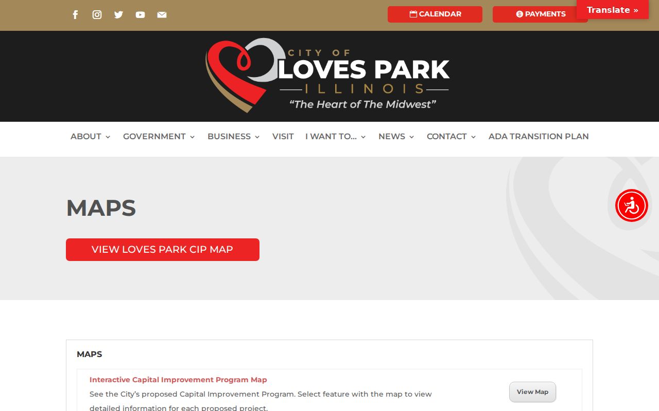
The city's maps page is the source for its published ward and community maps.
Note: Use the date printed on a ward map because annexations and district changes can make an older map wrong for a current address.
Loves Park Voter Data Is Individual
The Illinois registration lookup requires first name, last name, birth date, and ZIP before it asks for street number and a generated street name. It is a personal registration and polling check. It has no public command to reveal all voters on a street or around a radius.
Full voter-file release is controlled by 10 ILCS 5 and permitted requester and purpose rules. Sensitive items are restricted or redacted. A precinct map shows election geography, not candidate choices. Address Confidentiality Program protections can suppress or substitute address information, so no block map should be treated as complete.
Official Records Beat Neighbor Profiles
Commercial neighbor-search tools may merge stale parcels, old directory lines, and brokered address links. Their polished profile can hide date conflicts and same-name errors. Official sources are narrower, but each has a named custodian and a correction path.
| Source type | Strength | Limit |
|---|---|---|
| Official parcel and deed records | Dated legal tract, owner, taxpayer, and transfer evidence | Does not list every occupant |
| Official voter check | Tests one known name, ZIP, and street combination | No casual block roster; protected fields remain closed |
| Library and civic sources | Historical context, public groups, wards, notices | Coverage varies; no private member list |
| Commercial profile category | May combine many sources quickly | Can be stale, conflated, and hard to correct |
Myth check. A tax mailing address, voter match, or old directory line is not proof that someone now lives on the block.
Trace Past Loves Park Neighbors
North Suburban Library District's Post Journal and Monday Morning Mail, Rockford Public Library directories and newspaper files, WBCGS indexes, and Midway Village archives can place dated people or events near a street. Loves Park incorporated in 1947, so an earlier address might use Rockford, township, rural-route, or county wording.
Ask a librarian with the full name, spelling variants, approximate year, street, county side, and desired record type. Request the exact title, volume, page, or image number. Historical directories may show a resident or boarder, and newspapers may show an event or notice. Neither should be recast as a current block list.
Protect Loves Park Neighbors' Privacy
Renters, children, other household members, utility customers, delivery data, driver addresses, sealed court parties, confidential vital records, and private association members do not become public merely because a parcel is visible. Illinois' Address Confidentiality Program gives qualifying survivors a substitute address for public-record use. It does not erase every old deed, but it is a clear warning not to infer or republish a protected location.
Use the smallest amount of data needed for a bounded civic, family-history, property, or personal-safety question. Contact the assessor about a parcel-card error, the Recorder about an index issue, election officials about a registration correction, or the organization about its own public rules. A map is not permission to watch a person.
Lawful use. Illinois law forbids stalking and cyberstalking. Never use block records to surveil, harass, threaten, intimidate, or expose nearby residents.