
Walk a Loves Park Street
Begin with one complete address, not a person's name. The public sources around Loves Park are built around different keys. The assessor accepts a street location and returns a parcel, while the Recorder follows parties and legal descriptions. WinGIS supplies the map between them. The Illinois registration lookup is an individual check, and old directories are dated snapshots. Together, these sources can show an owner, taxpayer, legal tract, recorded transfer, permit trail, or historical directory entry. They cannot prove who is inside a home today.
- Search the Winnebago County assessment roll by number, direction, street, and suffix. Save the physical property location, PIN, owner and taxpayer fields, tax year, and legal description.
- Open the parcel in WinGIS. Confirm its shape and legal identity, then click nearby parcels while the street remains visible.
- If checking one known registered voter, use the state form with name, birth date, ZIP, street number, and its generated street-name choice. It has no browse-the-street mode.
- Take the assessed owner to the Recorder as a grantee. Read the purchase deed, identify the grantor, and verify that the legal description matches.
- For older occupants, ask the local libraries for address or street sections in regional directories. Treat each line as evidence for its publication year only.
This order prevents a common mix-up. A taxpayer's mail may go somewhere other than the property. A deed party may never have occupied the tract. A directory line may be decades old. Each match needs its source date and record role.
Loves Park Street Directory Fields
The Winnebago County Assessment Search is the strongest first stop west of Argyle Road. It advertises current parcel information and history through 2003. An address can be entered in separate parts, which helps when a full address produces no match. Owner search and PIN search are alternatives, not proof that an owner resides at the site.
| Field | Input | Format |
|---|---|---|
| Number | Street number | Up to 6 characters |
| Direction | Directional prefix | Up to 2 characters |
| Street | Street name | Up to 15 characters |
| Suffix | Street type | Up to 4 characters |
| Last Name | Owner surname | Up to 20 characters |
| PIN 1-4 | Parcel number pieces | 2, 2, 3, and 3 characters |
The result separates Property Location from owner or taxpayer mailing information. Copy both, but label them. An Owner Occupied exemption is an assessment flag, not a live household check.
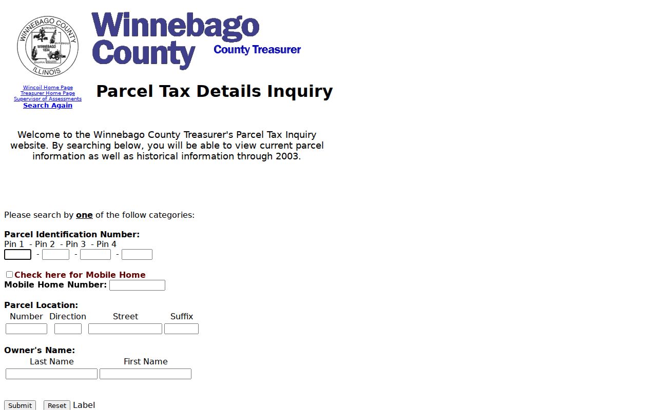
The county's tax and parcel search uses the same address pattern and adds mobile-home controls. Its captured screen shows how address input is divided before a street-directory search.
Loves Park Street Directory Coverage
No single street directory contains all Loves Park address evidence. The rolls differ by custodian, date, and purpose. This coverage table keeps each result in its proper lane.
| Address source | Keeper | Evidence returned | Access route |
|---|---|---|---|
| Parcel card | Winnebago Supervisor of Assessments | PIN, situs, owners, taxpayers, mailing address, legal elements | Public search; history through 2003 advertised |
| Parcel map | WinGIS | Geometry, nearby parcels, owner popup, zoning, flood, ZIP, aerial context | Public click and identify map |
| Deeds and plats | Winnebago Recorder | Parties, transfers, recording reference, legal description | Free basic index, paid images, counter, mail or email |
| Tax roll | Winnebago Treasurer | Tax status and history, owner/location, PIN and legal description | Public search; history through 2003 advertised |
| Permits and code | Loves Park Community Development | Permit, inspection, work, or complaint trail when releasable | Citizenserve, department request, or FOIA |
| Voter lookup | Illinois State Board of Elections | Individual registration or polling match | Name, birth date and ZIP, then street inputs |
East of Argyle Road, confirm the tract with the Boone County Clerk and Recorder, Assessment Office, or Boone GIS. The modern city label does not override county custody. Boone's official guide says land records begin in 1838, but no current Boone assessment-search URL was verified.
Street-wide browsing also has a practical gap. The inspected assessor page did not expose an “all parcels on this street” command. Run address-number segments, browse parcel polygons in WinGIS, or ask the assessor whether a releasable parcel list can be supplied. This takes more care, but it avoids presenting a partial owner-name result as the full street. For each row, keep the PIN and legal description with the address so similar street names and mailing locations do not merge.
Note: Record a source date beside every street result because assessment, tax, deed, voter, and directory evidence updates on different schedules.
Map the Loves Park Street Directory
WinGIS Property Search turns a parcel number into street context. Its verified controls include Search, Layers, Details, Markup, Measure, Basemaps, Bookmarks, Print, and Settings. Select a parcel, open Details, and compare its primary or alternate PIN, legal description, community, owners, taxpayers, and measurements with the assessor result. Then click the next polygon. The public interface did not expose exact search-box labels to the research capture, so do not guess at fields or promise a street-wide export.
- Parcel
- A mapped unit of land with its own identifier.
- Situs address
- The parcel's physical location, distinct from a taxpayer mailing address.
- Plat
- A recorded map that divides land into lots, blocks, streets, or tracts.
- Criss-cross directory
- A directory arranged by street or address rather than only by surname.
Layers for zoning, FEMA flood areas, ZIP codes, and a 1939 aerial add context. They do not change ownership. If a polygon, legal description, and street label disagree, pause the street-directory chain until the assessor or county office resolves the mismatch.
Loves Park Street Directory Counties
Argyle Road divides Loves Park's county routing. The city police explanation places addresses west of Argyle Road in Winnebago County and those east of it in Boone County. That split changes the land, clerk, court, and tax office behind an address even though the postal city remains Loves Park. ZIP codes are delivery geography, not a substitute for the county check.
Older research adds another wrinkle. Loves Park incorporated in 1947, while county land systems began much earlier. A pre-city entry may use Rockford, a township, a rural route, or a Boone-area label. A 2023 annexation packet even maps a parcel against existing corporate limits. When names conflict, the PIN, plat, and legal description form the durable bridge.
Insider tip. Preserve the city address for orientation, the county for custody, the ZIP for delivery, and the PIN for the tract.
Follow Loves Park Deeds by Address
The Winnebago Recorder Records Search offers three routes. Direct Search is free, limited, and has no images. Tapestry is the pay-as-you-go image route, with the county page stating $8.75 per search plus $1 per printed page. Laredo serves frequent subscribers. The online start date is not stated, so a street directory should never claim that every deed since 1836 is freely searchable online.
Start with the current assessed owner as grantee, meaning the party receiving an interest. Read the acquisition deed for the grantor, or transferring party, and compare its legal description with the parcel. Repeat backward. Search name variants and omit the comma in Party Name searches. County documentation covers grantor and grantee index books from 1836 through 1964, but that is physical or converted book coverage, not a guarantee about the free interface.
When the web route stops, the office at 404 Elm Street, Room 405, searches at the counter and offers public stations after more than five searches. Copies are $0.50 per page. Mail and email searches are also documented, with up to two business days requested and different charges for plats and older documents. The Recorder does not search by phone.
Myth check. A deed names parties to a legal transfer. It does not prove that either person lived at the street address.
Loves Park Permits by Street
Construction and code records date activity at a parcel even when they do not identify a household. The Loves Park Citizenserve portal confirms permit, plan review, fee, inspection, and complaint functions. The research did not verify a full public historic-result set. Search what the portal exposes, then ask Community Development for non-exempt records by address, permit type, and date range.
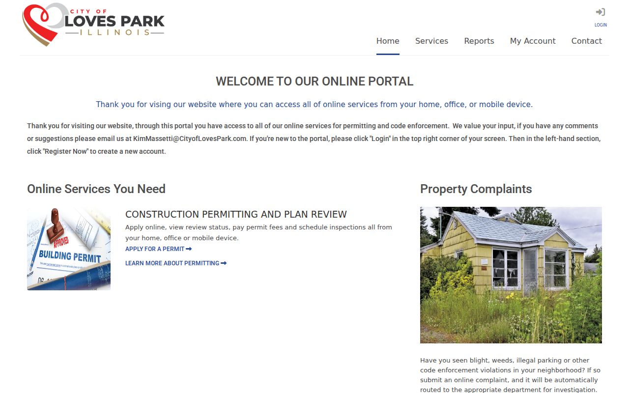
The captured Citizenserve screen is useful because it shows the city's actual front door for address-based work.
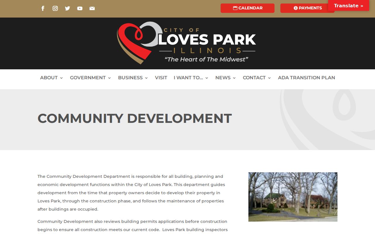
The Community Development department also handles planning, building, and zoning. Its source page provides the follow-up channel when a portal search is incomplete.
Loves Park Voter Street Inputs
The Illinois Registration Lookup is built for one person's own registration check, not a public block roster. Its first pass requires first name, last name, birth date, and five-digit ZIP. A second pass adds street number and a street-name dropdown generated from that ZIP. This confirms why the form can help check a known combination yet cannot browse every voter on a Loves Park street.
Registration evidence is narrower than many users expect. A match does not establish that all household members are listed or that daily occupancy is current. A missing result can stem from spelling, ZIP, status, timing, or confidentiality protections. The Winnebago election counter can help correct an individual's record; restricted data cannot be obtained by converting the lookup into a bulk search.
Read Old Loves Park Addresses Carefully
Regional directory volumes can connect a dated name to a residence or boarding address. The inspected 1880 Rockford volume uses abbreviations such as res. for residence and bds for boards. Loves Park did not yet exist as an incorporated city, so the modern label must not be forced onto an old line. Ask Rockford Public Library or North Suburban Library District for street sections, address indexes, regional coverage, and the exact volume year.
The historical shelf itself belongs on the Loves Park city directories page. For street work, cite only the line, year, locality, and address that bear on the parcel. No verified Loves Park-only reverse-directory run or official street-renumbering year was found. Plats, annexation files, maps, city minutes, assessor cards, and library help are the honest fallback.
Limits of Loves Park Street Records
Public address sources do not expose a complete household. Renters and family members may never appear in a land record. Utility and delivery accounts are not public directories, and driver-address data is restricted. Illinois' Address Confidentiality Program can provide qualifying survivors a substitute address for public-record use. Sealed cases, confidential vital files, juvenile matters, and protected voter records remain outside an ordinary street lookup.
The clearest labels are modest ones: assessed owner, taxpayer mailing address, deed party, permit contact, registered-voter match, or dated directory resident. None is interchangeable with “currently lives here.” Correct an official error with its custodian. Do not copy sensitive fields merely because an image or index can be viewed.
Lawful use. Use Loves Park address records for a bounded, lawful question. Never use them to monitor, stalk, harass, threaten, or publish a protected address.